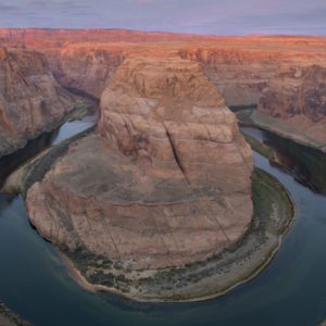
Picacho Peak
Picacho Peak State Park is a state park surrounding Picacho Peak in Picacho, Arizona. The park is located between Casa Grande and Tucson near Interstate 10 in Pinal County. Its centerpiece spire is visible from downtown Tucson, a distance of 45 miles (72 km). The summit rises to 3,374 feet (1,028 m) above mean sea level. Though appearing to be the remnant of a volcanic neck, it is now believed to be a tilted and eroded piece of rock overlain by a lava flow.
Nearby Locations:
| Saguaro National Park (27.1 miles) Mount Lemmon (38.1 miles) Airplane Boneyard (44.9 miles) Javelina Rocks (51 miles) Gila River Memorial Airport (51.3 miles) | Silly Mountain Trailhead (51.8 miles) Bridal Wreath Falls (52.1 miles) Lost Dutchman State Park (57.3 miles) Tempe Town Lake (62.9 miles) South Mountain Park and Preserve (63.2 miles) |
Maps & Directions:
Get Driving Directions:
Picacho Peak, Arizona 85141
This time, it's OK to leave a trace (Review)
There are no reviews yet. Be the first one to write one.
Submit a review of Picacho Peak
This article uses material from the Wikipedia article “Picacho Peak State Park“, which is released under the Creative Commons Attribution-Share-Alike License 3.0.


