The M
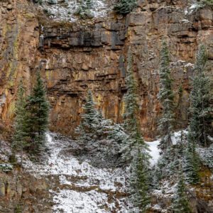
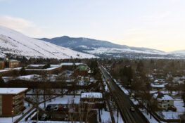
For a real workout, by far the most popular hiking trail in Missoula is a snaking uphill battle known as the M Trail. Although it is less than a mile in length, the M Trail gains over 600 feet of elevation, taking you to the first stopping point – a large concrete M and a beautiful panoramic view of The University of Montana. You can call it a day there or keep climbing another mile (and another 1000 feet of elevation gain) to the top of Mount Sentinel.
Your reward? Tired legs, burning lungs, and the most spectacular view of Missoula, nearby Mt. Jumbo, and in the southern distance, the Bitterroot Mountains. We promise, the pictures you will bring home are worth the hike.
Nearby Locations:
| Mount Sentinel (0.7 miles) Snowbowl (10.8 miles) Flathead Lake (72.6 miles) |
Lists & Guides Including The M
Maps & Directions:
Get Driving Directions:
The M, Missoula, Montana 59803
This time, it's OK to leave a trace (Review)
There are no reviews yet. Be the first one to write one.