Fort Matanzas National Monument

Image via Wikipedia
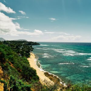
Fort Matanzas National Monument (Spanish: Fuerte Matanzas) was designated a United States National Monument on October 15, 1924. The monument consists of a 1740 Spanish fort called Fort Matanzas, and about 100 acres (0. 4 km2) of salt marsh and barrier islands along the Matanzas River on the northern Atlantic coast of Florida. It is operated by the National Park Service in conjunction with the Castillo de San Marcos National Monument in the city of St. Augustine.
Nearby Locations:
| St. Augustine Lighthouse (12.1 miles) Bridge of Lions (12.9 miles) Castillo de San Marcos (13.3 miles) Nombre de Dios (mission) (13.9 miles) Paynes Prairie Preserve State Park (64.7 miles) | Plaza of the Americas (Gainesville, Florida) (66.4 miles) Main Beach Park (66.9 miles) Wekiwa Springs State Park (69.3 miles) Kanapaha Botanical Gardens (70.6 miles) Dungeness (Cumberland Island, Georgia) (72.7 miles) |
Maps & Directions:
Get Driving Directions:
Fort Matanzas National Monument, 8635 A1A South
St. Augustine, Florida 32080
This time, it's OK to leave a trace (Review)
There are no reviews yet. Be the first one to write one.
Submit a review of Fort Matanzas National Monument
This article uses material from the Wikipedia article “Fort Matanzas National Monument“, which is released under the Creative Commons Attribution-Share-Alike License 3.0.