Ed Z'berg Sugar Pine Point State Park

Image via Wikipedia
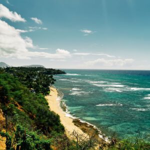
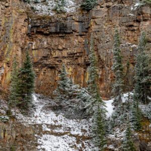
Ed Z’berg Sugar Pine Point State Park is a state park in California in the United States. It occupies nearly two miles of the western shore of Lake Tahoe and a total of about 1,000 hectares (2,500 acres) of forested mountains in El Dorado County. Originally called Sugar Pine Point State Park, its name was changed in 2003 to honor Edwin L. Z’berg, a California state assemblyman who specialized in environmental legislation and worked to develop state parks and other natural areas.
Nearby Locations:
| Emerald Bay State Park (7.3 miles) Mount Tallac (10.7 miles) Sand Harbor Beach (14.2 miles) Hidden Beach Plaza (15.3 miles) Apple Hill Visitors Center (39.3 miles) | Travertine Hot Springs (74.9 miles) McKinley Park, Sacramento (79.5 miles) Hetch Hetchy Reservoir (79.5 miles) California State Capitol (81 miles) California State Railroad Museum (81.3 miles) |
Lists & Guides Including Ed Z'berg Sugar Pine Point State Park
Maps & Directions:
Get Driving Directions:
Ed Z'berg Sugar Pine Point State Park, 7360 W Lake Blvd
Tahoma, California 96142
Visit the Ed Z'berg Sugar Pine Point State Park Website
This time, it's OK to leave a trace (Review)
There are no reviews yet. Be the first one to write one.
Submit a review of Ed Z'berg Sugar Pine Point State Park
This article uses material from the Wikipedia article “Ed Z’berg Sugar Pine Point State Park“, which is released under the Creative Commons Attribution-Share-Alike License 3.0.

