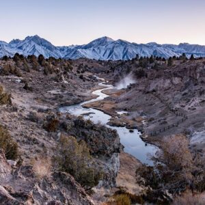
Gila River Memorial Airport

Image via Wikipedia
Gila River Memorial Airport was a private-use airport owned and operated by the Gila River Indian Community, located 4 miles (3. 5 nmi; 6. 4 km) southwest of the central business district of Chandler, in Maricopa County, Arizona, United States. It was used for cropdusting and air charter operations, with no scheduled commercial services.
Nearby Locations:
| South Mountain Park and Preserve (12.4 miles) Tempe Town Lake (13.1 miles) Papago Park (14.8 miles) Desert Botanical Garden (15.3 miles) Roosevelt Row Welcome Center (17.6 miles) | Piestewa Peak (22 miles) Silly Mountain Trailhead (26.1 miles) Lost Dutchman State Park (28.8 miles) Saguaro Lake (31.7 miles) Tom's Thumb Trailhead (31.8 miles) |
Maps & Directions:
Get Driving Directions:
Gila River Memorial Airport, East Airfield Lane
Chandler, Arizona 85249
This time, it's OK to leave a trace (Review)
There are no reviews yet. Be the first one to write one.
Submit a review of Gila River Memorial Airport
This article uses material from the Wikipedia article “Gila River Memorial Airport“, which is released under the Creative Commons Attribution-Share-Alike License 3.0.


