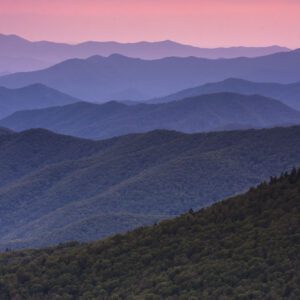
Coyote Gulch
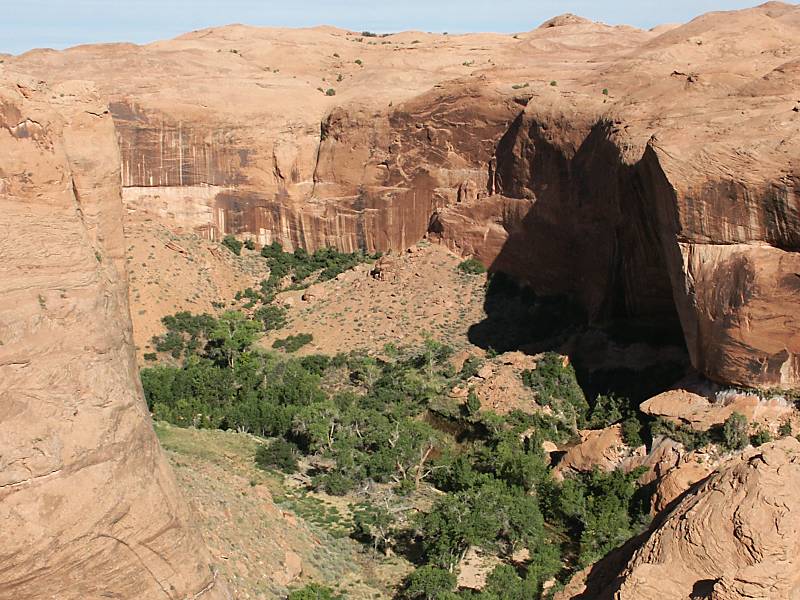
Image via Wikipedia
Coyote Gulch is a tributary of the Escalante River, located in Garfield and Kane Counties in southern Utah, in the western United States. Over 25 mi (40 km) long, Coyote Gulch exhibits many of the geologic features found in the Canyons of the Escalante, including high vertical canyon walls, narrow slot canyons, domes, arches, and natural bridges. The upper sections of Coyote Gulch are located within the Grand Staircase-Escalante National Monument while its lower sections are located in the Glen Canyon National Recreation Area.
The headwaters of Coyote Gulch have their origins along a 14 mi (23 km) segment of the Straight Cliffs Formation which is the eastern edge of the Kaiparowits Plateau. Intermittent streams flowing down the Straight Cliffs merge to form larger branches, including Dry Fork, Big Hollow, the main branch of Coyote Gulch, and Hurricane Wash. The combined flow from these branches have carved a canyon up to 900 ft (270 m) deep into sandstone layers, before meeting the Escalante River.
Nearby Locations:
| Peek-A-Boo Canyon (13.4 miles) Reflection Canyon (17.9 miles) Rainbow Bridge National Monument (24.3 miles) Cosmic Ashtray (25.4 miles) Devils Garden (Grand Staircase–Escalante National Monument) (26.2 miles) | Alstrom Point (33.1 miles) Calf Creek Falls (36.7 miles) Grand Staircase-Escalante National Monument (38.6 miles) Lake Powell (43.7 miles) Antelope Canyon (44.7 miles) |
Maps & Directions:
Get Driving Directions:
Coyote Gulch, Utah
This time, it's OK to leave a trace (Review)
There are no reviews yet. Be the first one to write one.
Submit a review of Coyote Gulch
This article uses material from the Wikipedia article “Coyote Gulch“, which is released under the Creative Commons Attribution-Share-Alike License 3.0.