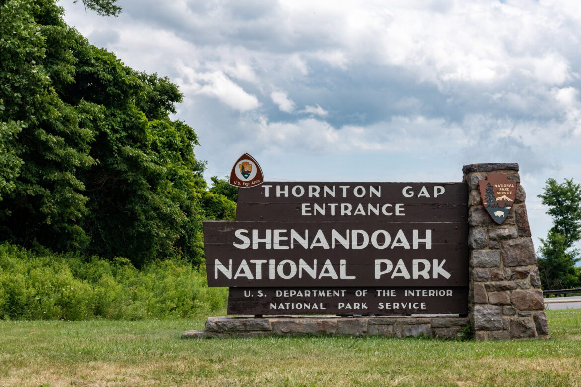
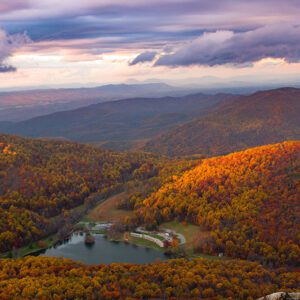
Shenandoah National Park
Shenandoah National Park (often ) is an American national park that encompasses part of the Blue Ridge Mountains in the Commonwealth of Virginia. The park is long and narrow, with the Shenandoah River and its broad valley to the west, and the rolling hills of the Virginia Piedmont to the east. Skyline Drive is the main park road, generally traversing along the ridgeline of the mountains. Almost 40% of the park’s land—79,579 acres (124. 3 sq mi; 322. 0 km2)—has been designated as wilderness areas and is protected as part of the National Wilderness Preservation System. The highest peak is Hawksbill Mountain at 4,051 feet (1,235 m).
Nearby Locations:
| Monticello (11.3 miles) Luray Caverns (27.8 miles) Seneca Rocks (53 miles) Appomattox Court House National Historical Park (63.5 miles) Natural Bridge State Park (65.7 miles) | Douthat State Park (67.1 miles) High Bridge Trail State Park (69.4 miles) Blackwater Falls (71.4 miles) Sharp Top Trail (77.9 miles) Virginia Museum of Fine Arts (83.1 miles) |
Lists & Guides Including Shenandoah National Park
Maps & Directions:
Get Driving Directions:
Shenandoah National Park, Virginia
This time, it's OK to leave a trace (Review)
There are no reviews yet. Be the first one to write one.
Submit a review of Shenandoah National Park
This article uses material from the Wikipedia article “Shenandoah National Park“, which is released under the Creative Commons Attribution-Share-Alike License 3.0.
