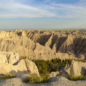
White River Falls State Park

Image via Wikipedia
White River Falls State Park is a state park in north central Oregon. It is located 35 miles (56 km) by road south of The Dalles and 4. 5 miles (7. 2 km) east of Tygh Valley.
The focus of the park is the falls where wild and scenic White River plunges 90 feet (27 m) from a basalt shelf. At the base of the falls are the ruins of a hydropower plant which supplied electricity to north central Oregon from 1910 to 1960. The falls are located at river mile (RM) 3 of the White River which flows into the Deschutes at RM 46.5.
There are no fees to use the park and it is open mid-March through the end of October.
Nearby Locations:
| Tamanawas Falls (25.4 miles) Mt. Hood (30.5 miles) Ramona Falls Trailhead (37 miles) Lost Lake (Oregon) (39.2 miles) Dog Mountain (43.2 miles) | Wind Mountain Trailhead (45.4 miles) Bridge of the Gods (48.5 miles) Wahclella Falls (49.4 miles) Horsetail Falls (52.8 miles) Multnomah Falls (54.5 miles) |
Maps & Directions:
Get Driving Directions:
White River Falls State Park, White River Falls State Park
Maupin, Oregon 97037
This time, it's OK to leave a trace (Review)
There are no reviews yet. Be the first one to write one.
Submit a review of White River Falls State Park
This article uses material from the Wikipedia article “White River Falls State Park“, which is released under the Creative Commons Attribution-Share-Alike License 3.0.


